Heading south on Bear Creek Road
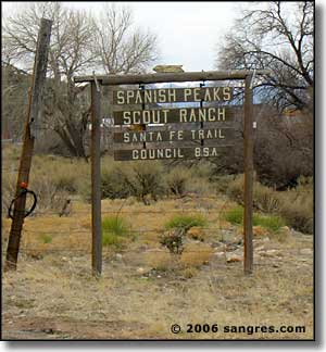
Bear Creek Road heads south from US 160 on the western edge of Walsenburg (right next to the sign pictured on the left). It's a beautiful drive that ends a couple miles past the Boy Scout Camp at the edge of San Isabel National Forest, at the foot of the East Spanish Peak.
The first several miles are spent driving across open range land with lots of artifacts around from the coal mining heyday that ended back in the 1920's in this area. Then you start seeing more and more of the granite dikes that radiate from the Spanish Peaks slowly sticking their head ridges above ground.
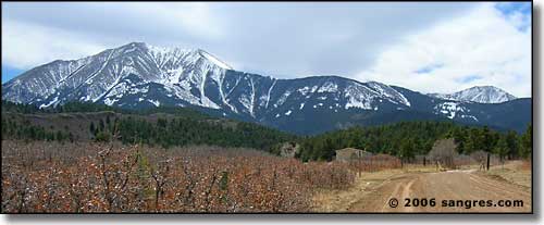
Driving south, you gradually gain elevation until you come into the pine forest and reach the Scout camp gate.
Most of the countryside is a mix of pinon pines and juniper until you get close to that gate. Slowly that gives way to Ponderosa pine, then some Douglas fir. At the back end of the scout camp, near the end of the road, spruces and aspens make their first appearance.
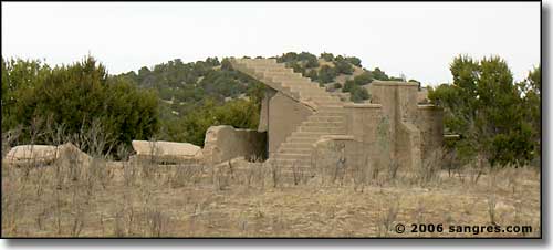
One of the relics left from coal mining days
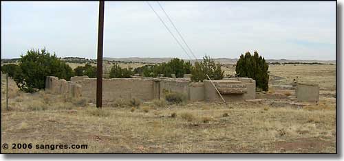
Another relic of the old days
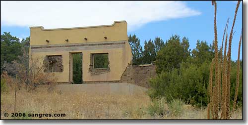
Lots of relics out here
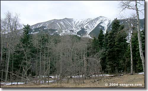
Getting closer to the East Spanish Peak
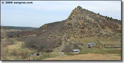
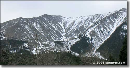
One of the granite dikes running north from the Spanish Peaks

Looking back north, another big granite dike, and Greenhorn Mountain in the distance
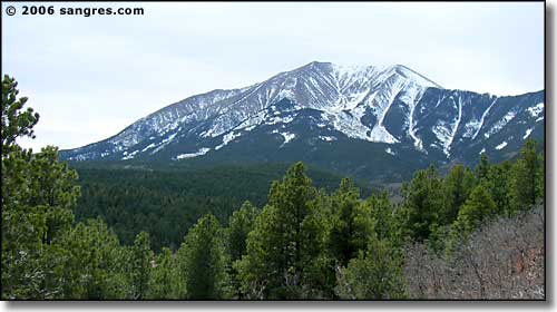
The East Spanish Peak from just before the Boy Scout camp
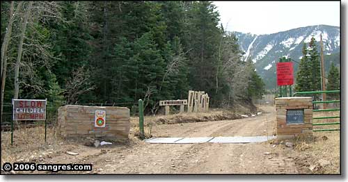
At the gate to the Boy Scout camp
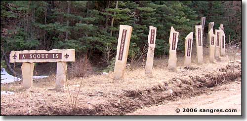
Just inside the gate
There are a couple more homes past the Scout Camp and then you come into the San Isabel National Forest. At the end of the public road there is a parking area/turn-around in the trees. Beyond here is an old jeep trail that leads further into the woods, eventually up the hill and along a steep ridge up onto the East Spanish Peak itself. The elevation here is about 9,600' so there's still about 3,000 feet of elevation gain to the top of the peak. Don't try driving past the turn-around because right here, you are very close to the boundary of the Spanish Peaks Wilderness Area and motorized vehicles of any sort are forbidden: travel is by foot or horseback only. Another thing: the trail up the mountain is really not marked because even before you reach treeline, everything underfoot is moving. So bring some survey tape to mark where you exit the trees so you can find your way back to the same place (just remember to remove your tape on the way back out).