

Imagine...
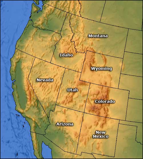
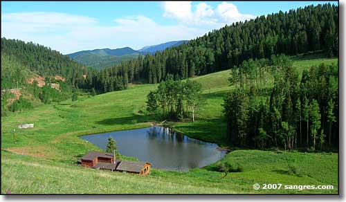
a place where the elk outnumber the people. A place where bighorn sheep ignore human intruders in their space. Imagine special trout waters in the very heart of wild mountain splendor. Imagine flocks of birds with eight-foot wingspans sharing the flyways with great V's of geese, ducks and other migratory waterfowl. Imagine snow-capped pink granite skylines, views of forever and the siren call of wilderness. You've imagined the last frontier, the last of undiscovered America: the hinterlands of the the Intermountain Western United States. Come on in and see for yourself...
I began building this site back in 1998 as a chronicle of my exploration of my "neighborhood." Over time, I've kept on exploring, taking lots of photos, talking to the local folks, posting my findings, and I've slowly turned Sangres.com into an area information site and vacation planner. You're liable to find all kinds of stuff here that the "big boys" (and their websites) don't go into. I'm a bit different and I like to check out everything. What you've found here is a personal exploration and travelog of some of the most gorgeous countryside on Earth, chronicled by someone who's madly in love with the place. So then...

I've got information, maps and photos of National Forests, National Parks, National Monuments, National Wildlife Refuges, National Wilderness Areas, BLM recreational areas, and unique natural features. I've also thrown in many of the designated Scenic Byways and a lot of state parks and ski resorts... (No, I'm not done yet, there's a lot here and I'm still exploring...)
Scattered throughout the site are photo galleries of many of the natural wonders in our area. I also have lots of pannable and zoomable Google maps: flat area maps and satellite images.
I offer demographics, climate data, local attractions and local businesses wanting to serve you (for those of you who are planning vacations or coming in for business reasons). I've also got some data about some of the excursion trains that run through some of the most scenic countryside in our area (places that you just can't see in any other way). A lot of what I cover here is from the "under-served" areas, although there is some data from the cities.
I live every day in a huge, natural, world-class park where most folks who come here only stay for a couple weeks of vacation... after taking a look at some of this stuff, you may want to move to the Real Wild West, too. It's still a great place for raising kids and grandkids... just don't come here thinking there's a shopping mall on every corner: the nearest gas station/convenience store to my house is 23 miles (15 miles just to get to pavement), and the nearest shopping mall is more than 100 miles away. The Western United States is not all like this but a very large section of it is...

Update, August 14, 2012: I have been pushing forward with a re-write of the code base of this site into html5. As part of that, I have been expanding on some of the accessibility features, trying to get ahead of the curve a bit. So far, the Colorado, New Mexico, Wyoming, Arizona and Utah sections are essentially finished in html5, while the Idaho section is in process.
