 |
Bureau of Land Management Sites in Nevada |
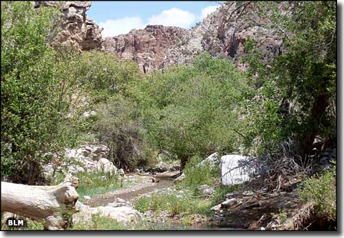 In the Clover Mountains Wilderness |
|
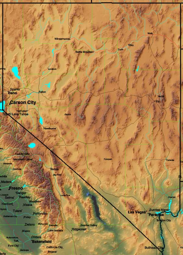
A lot of Nevada (something like 95%) is owned by we, the people, through our proxy known as "the federal government" (I wish those folks employed by the federal government saw it more like that - but this is what we've got to work with, now what are we going to do with it?). Huge chunks of land are part of the Humboldt-Toiyabe National Forest. Other huge properties are part of "our" military establishment. Still more land is "administered" by the Bureau of Land Management. Don't get me wrong: the National Forest Service and the Bureau of Land Management have done some great things in terms of preserving and protecting these vast properties and, in many cases, developing facilities for we, the people, but Area 51 (top secret), the Nellis Air Force Base Bombing Range, the Fallon Naval Air Station, the Army Munitions Depot around Hawthorne, and the Yucca Mountain High-Level Radiation Nuclear Waste Facility? However, there is still a huge amount of land that we, the people, are allowed access to and on this page I have a few links to pages on this site that are about some of those places: wilderness areas, campgrounds, recreation areas, National Conservation Areas, Back Country Byways, etc. |
 |
| National Conservation Areas |
|
Sloan Canyon
|
| Bureau of Land Management Wilderness Areas |
|
Meadow Valley Range
Mormon Mountains Mount Grafton Mount Irish Mount Moriah Muddy Mountains North Black Rock Range North Jackson Mountains North McCullough Pahute Peak Parsnip Peak South Egan Range South Jackson Mountains South McCullough South Pahroc Range Spirit Mountain Tunnel Spring Wee Thump Joshua Tree Weepah Spring White Rock Range Worthington Mountains
Arrow Canyon
Becky Peak Big Rocks Black Rock Desert Bristlecone Calico Mountains Clover Mountains Delamar Mountains East Fork High Rock Canyon El Dorado Far South Egans Fortification Range Goshute Canyon Government Peak High Rock Canyon High Rock Lake Highland Ridge Ireteba Peaks Jumbo Springs La Madre Mountain Lime Canyon Little High Rock Canyon |
| Back Country Byways |
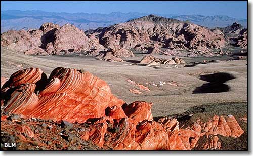 Muddy Mountains Wilderness |
|
|

|
| Index - Arizona - Colorado - Idaho - Montana - Nevada - New Mexico - Utah - Wyoming National Forests - National Parks - Scenic Byways - Ski & Snowboard Areas - BLM Sites Wilderness Areas - National Wildlife Refuges - National Trails - Rural Life Advertise With Us - About This Site - Privacy Policy |
| Photos of the Muddy Mountains and Clover Mountains Wildernesses courtesy of the Bureau of Land Management. Text Copyright © by Sangres.com. All rights reserved. |