 |
Highland Ridge Wilderness |
 Highland Ridge Wilderness |
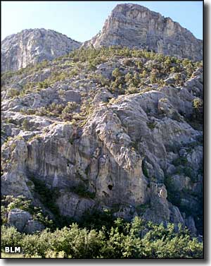
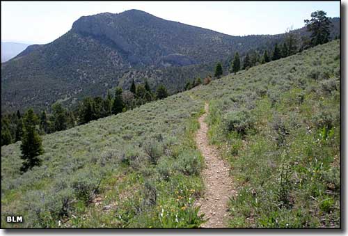
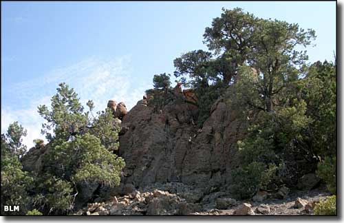
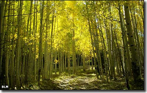
The 68,627 acres of Highland Ridge Wilderness are located in the southern part of the Snake Range of White Pine County, against the southern boundary of Great Basin National Park. The countryside here is composed of steep ridgelines that drop to the south into deep drainages that empty into rolling foothills that rise above gently sloping bajadas. Some of these deep drainages have some beautiful riparian areas in them. These are juniper and pinon covered mountains that provide excellent habitat for mountain lion, mule deer and pronghorn antelope. Elevations vary from a low in the sagebrush woodlands around 6,000' to a high on the rocky ridges around 10,000'. Recreational activities in this area include hunting, camping, hiking, horseback riding, wildlife wayching and photography. Before the designation of Great Basin National Park, a lot of this area was part of the Wheeler Peak Scenic Area. |
  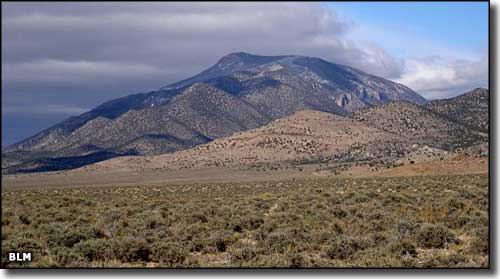 Looking north near the south end of Highland Ridge Wilderness 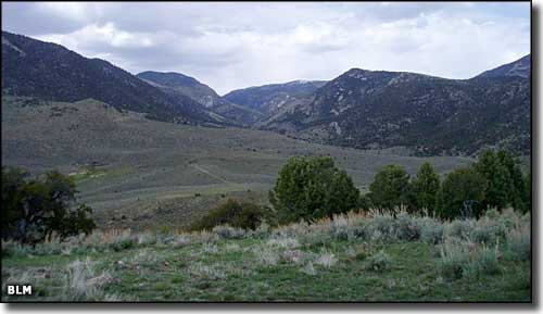 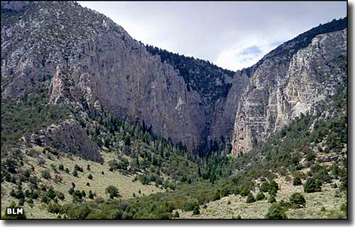 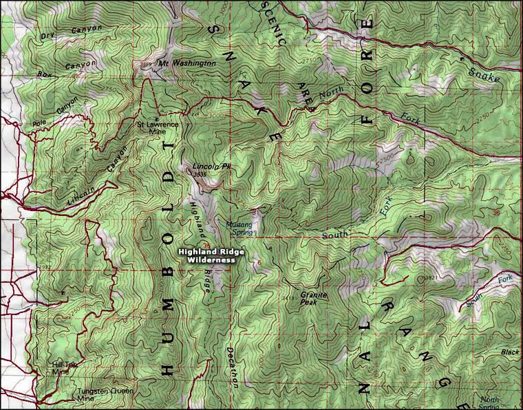 Highland Ridge Wilderness topo map |
|
|

|
| Index - Arizona - Colorado - Idaho - Montana - Nevada - New Mexico - Utah - Wyoming National Forests - National Parks - Scenic Byways - Ski & Snowboard Areas - BLM Sites Wilderness Areas - National Wildlife Refuges - National Trails - Rural Life Advertise With Us - About This Site - Privacy Policy |
| Photos of Highland Ridge Wilderness courtesy of the Bureau of Land Management. Map courtesy of National Geographic Topo! Text Copyright © by Sangres.com. All rights reserved. |