|
||||||||||
|---|---|---|---|---|---|---|---|---|---|---|
Sierra Blanca 2 |
||||||||||
|
|
||||||||||
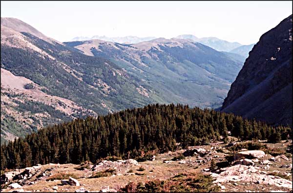
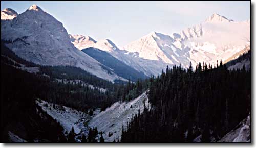 Morning in the Upper Huerfano River Valley |
||||||||||
|
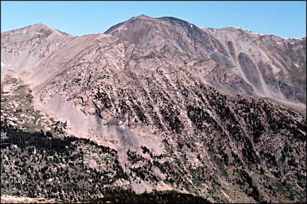
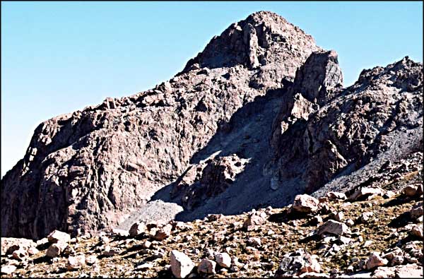
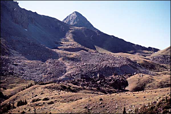
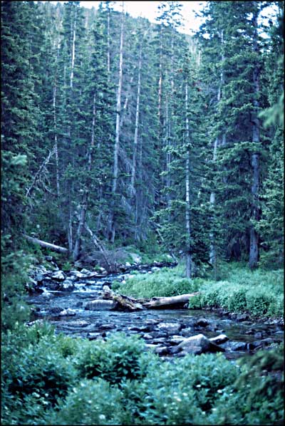
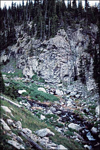
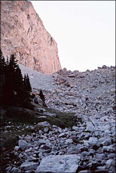
This small group of photos commemorates a Wednesday well spent. Bill and I were up and out early, early enough to be walking past the trailhead signs at 7:30 am. This year we had a much better idea of what we were looking for and there was much less snow in the way of us finding it. And we couldn't have had a nicer day. The climbing was much easier because we found the trail. Crossing the Huerfano wasn't bad at all. Then we easily found the bottom of the trail beside the stream coming out of the valley leading to the Iron Nipple. The hill was steep but the sun wasn't on us yet. For that matter, everything had a thin coating of ice on it for the first couple of hours. Climbing alongside the stream was really beautiful. The streambed was full of Columbines, Lupens, Shooting Stars, and other wildflowers. Then the trail finally crossed it and continued on up the hill on the other side. The path led out onto a flat ridgetop with incredible views of Blanca's north face and the whole valley. This was at about 11,700'. Then the trail continued on southeast, leading out into a small bowl with pools of water and piles of rock. We followed the trail up a ramp finally, leading to the top of the Sierra Blanca ridge at about 13,040'. Then we climbed through some more talus and up onto the top of the ridge leading onto the northwest shoulder of Mt. Lindsey at about 13,100'. For the continuation of the climb please see Mt. Lindsey Climb. |
||||||||||
| Clicking on any of these photos will open a new window or new tab in your browser and bring you a larger version of that photo. |
||||||||||
| ||||||||||
 Sierra Blanca area map |
||||||||||
|
|
||||||||||
Blanca Massif Related Pages
Sierra Blanca 1 - Mt. Lindsey Climb - Blanca Peak - Ellingwood Point - Little Bear P{eak
California Peak - Traverses Como Lake - Como Lake Road - Zapata Falls National Recreation Area Colorado Pages
Towns & Places - Scenic Byways - State Parks - BLM Sites - History & Heritage Ski & Snowboard Areas - Photo Galleries - Colorado Mountains - Scenic Railroads Unique Natural Features - Wilderness Areas - Outdoor Sports & Recreation Colorado's National Forests - National Wildlife Refuges - Colorado's National Parks |
||||||||||

|
||||||||||
| Index - Arizona - Colorado - Idaho - Montana - Nevada - New Mexico - Utah - Wyoming National Forests - National Parks - Scenic Byways - Ski & Snowboard Areas - BLM Sites Wilderness Areas - National Wildlife Refuges - National Trails - Rural Life Advertise With Us - About This Site - Privacy Policy |
||||||||||
| Photos courtesy of Sangres.com, CCA ShareAlike 3.0 License. Map courtesy of National Geographic Topo! Text Copyright © by Sangres.com. All rights reserved. |