|
||||||||||||
|---|---|---|---|---|---|---|---|---|---|---|---|---|
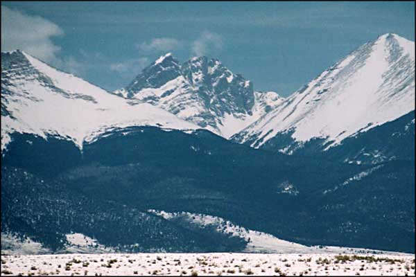
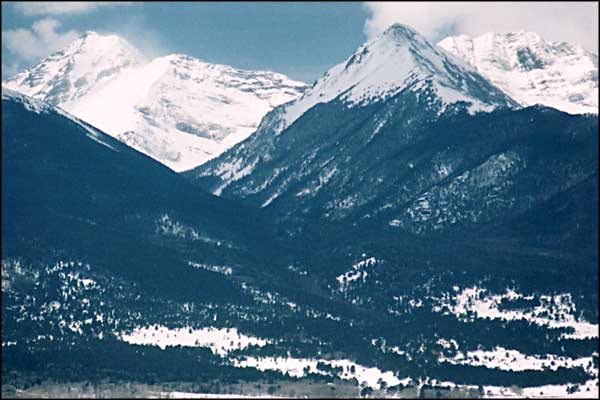
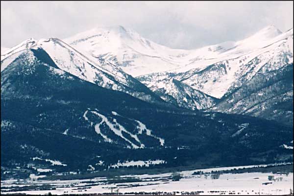
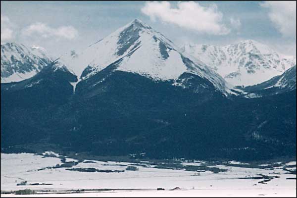
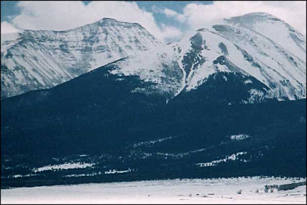
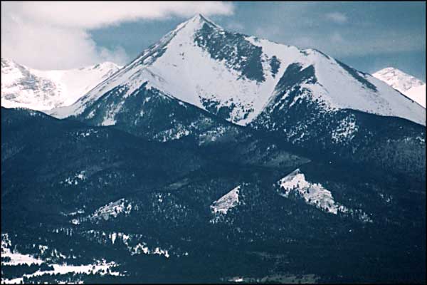
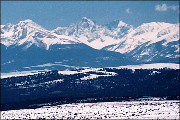
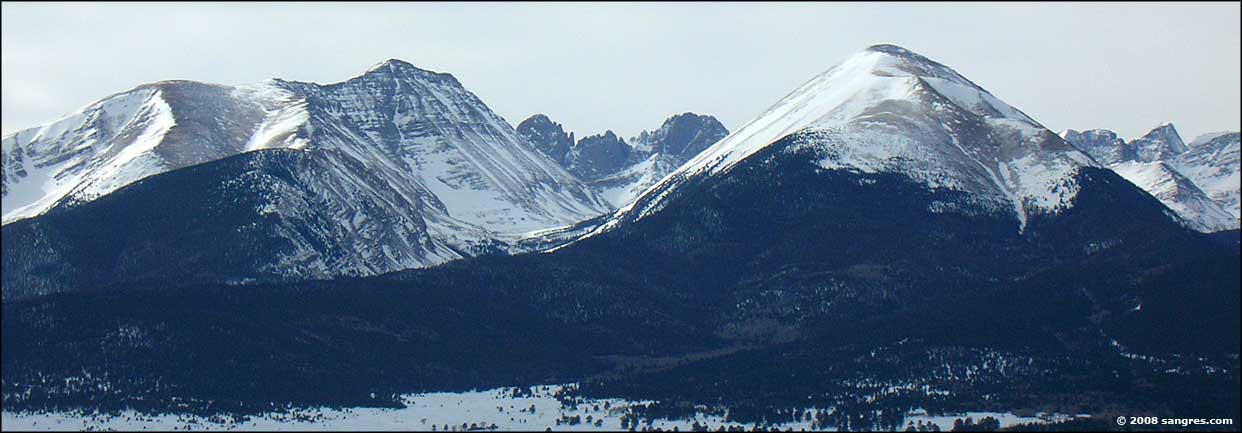
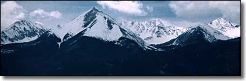
The Sangre de Cristo MountainsFrom Custer County, Colorado |
||||||||||||
|
|
||||||||||||
 |
||||||||||||
|
The Sangre de Cristo's mark the western horizon in Custer County. They rise pretty much straight up from the valley floor. The Rainbow Trail winds along through the San Isabel National Forest at the very foot of the mountains. While there are many hiking trails that cross the mountains east and west, there are no paved roads crossing the mountains in Custer County (there are a couple of 4x4 roads that cross the mountains into the San Luis Valley but they are rated among the worst in Colorado.) |
||||||||||||
| Clicking on any of these photos will open a new window or new tab in your browser and bring you a larger version of that photo. |
||||||||||||
| ||||||||||||
|
|
||||||||||||
Related PagesSan Isabel National Forest PagesColorado Pages
Towns & Places - Scenic Byways - State Parks - BLM Sites - History & Heritage Ski & Snowboard Areas - Photo Galleries - Colorado Mountains - Scenic Railroads Unique Natural Features - Wilderness Areas - Outdoor Sports & Recreation Colorado's National Forests - National Wildlife Refuges - Colorado's National Parks |
||||||||||||

|
||||||||||||
| Index - Arizona - Colorado - Idaho - Montana - Nevada - New Mexico - Utah - Wyoming National Forests - National Parks - Scenic Byways - Ski & Snowboard Areas - BLM Sites Wilderness Areas - National Wildlife Refuges - National Trails - Rural Life Advertise With Us - About This Site - Privacy Policy |
||||||||||||
| Photos courtesy of Sangres.com, CCA ShareAlike 3.0 License. Text Copyright © by Sangres.com. All rights reserved. | ||||||||||||