
Hoosier Pass, Colorado
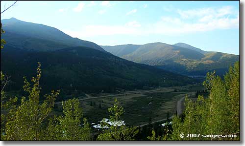
Heading up into Hoosier Pass between Alma and Breckenridge
Mount Lincoln to the upper left, Quandary Peak peeking out to the right
Hoosier Pass links South Park and Middle Park, for many centuries the heart of the seven Ute bands' mountain domain and principal hunting territories. The Utes' mastery of horsemanship (after being introduced to horses by the Spaniards in the 1600’s) and their superior topographical knowledge made them formidable warriors in this countryside. They tolerated early non-Indian visitors to their tribal territories but permanent settlers were not welcome. By the late 19th century, though, the rising tide of European pioneers finally forced them out of their mountain strongholds. Over the years, the Utes signed several treaties with the United States Government, only to have the Government renege on each one and force the tribes into smaller and smaller spaces until today, we have three much smaller reservations in Utah and Colorado than the seven bands were originally granted at first. Today, the Mouache and Capote Utes comprise the Southern Utes. The Weminuche Utes comprise the Ute Mountain Utes and the Tabeguache, Grand River, Yampa, and Uintah Utes are known as the Northern Utes.
John C. Fremont crossed over Hoosier Pass on June 23, 1844. He was returning from California on the second of his five expeditions. Guided by Kit Carson with mapping services provided by Charles Preuss, Fremont charted the vicinity and explored the sources of the Platte, Colorado and Arkansas Rivers. Although Fremont was known as “The Pathfinder,” he had a tendency to follow paths blazed by others, paths well-known to many trappers and other folks who lacked his talenty for publicity. Fremont’s widely read journals were ghost-written by his wife, Jessie, and touted by his father-in-law, the famous Senator Thomas Hart Benton of Missouri.
Hoosier Pass is on the Continental Divide. As the Colorado section of the Divide was feared for its high, difficult stretches, many pioneers (and early railroad builders) heading west avoided Colorado completely, searching out lower and easier crossings in New Mexico and Wyoming. Eventually, though, almost 40 tunnel, pipeline and ditch projects breached the Divide in Colorado, carrying hundreds of billions of gallons of water per year from the Western Slope to the fast-growing cities along the Front Range.
An early figure in the area was Reverend John Dyer, a Methodist minister from Wisconsin. He first came into this area in 1861, intending to visit for a bit and then return to the Midwest. However, when he learned that the region had no religious instruction, he decided to stay. His sprawling ministry stretched from Breckenridge to Fairplay to Leadville, and many mining camps in between. He crossed these mountains often, on foot in summer, on skis in the dead of winter. He usually carried the winter mail with him to supplement his meager income. The miners of the area didn't know what to make of this preacher who was as tough and rugged as they were. And long after the miners had moved on in search of easy money, Reverend Dyer was still here, plying his trade and raising his children, a testament to the fortitude of many western men of the cloth.
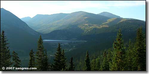
Montgomery Reservoir
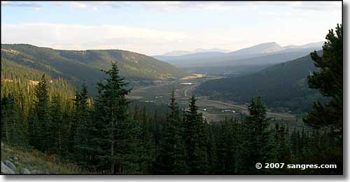
Looking back south toward Alma
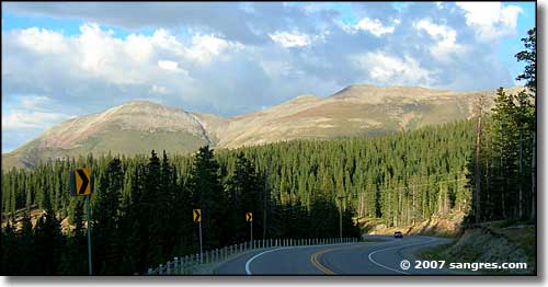
Red Mountain, on the Breckenridge side of the pass
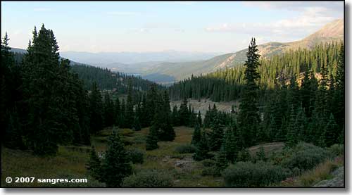
Goose Pasture Tarn in the distance, Breckenridge side of the pass
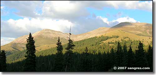
The Continental Divide is up there
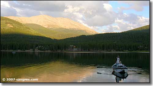
Goose Pasture Tarn, Bald Mountain behind
Pike National Forest - Eleven Mile State Park - Spinney Mountain State Park
South Park City - State Trust Lands & Wildlife Areas
National Park Service Sites - BLM Sites - National Wilderness Areas - Unique Natural Features
Outdoor Sports & Recreation - Ski & Snowboard Areas - Photo Galleries - Colorado Mountains
