
Cochetopa Crossing - CO Highway 114 Part 2
North Cochetopa Pass to Gunnison, Colorado

The Cochetopa Hills, just west of North Cochetopa Pass

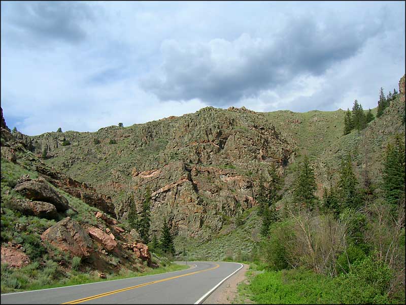
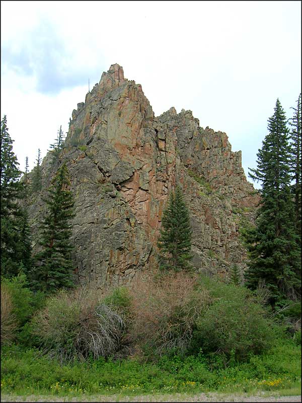
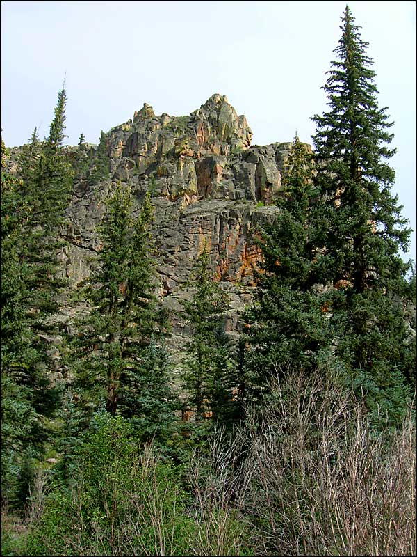
What I am calling “the Cochetopa Crossing” is the path Colorado State Highway 114 cuts across the mountains and forests between Saguache and Gunnison. This is a beautiful area with many different types of landscape and tree cover. The Cochetopa Hills are the result of volcanic activity that created the Cochetopa Dome: a would-have-been volcano except that it never reached the surface and never erupted, it only pushed up a significant chunk of countryside. Somewhere around here there was significant lava flow because a lot of the countryside shows dikes and walls of hardened lava and the remains of eroded pinnacles.
The photo to the left is of folds in the rock in Cochetopa Canyon. You can see the different layers of granite and how they were bent and folded by the heat and pressure of bygone volcanic processes.

Looking south across Saguache Park
To return, use the Back button of your browser.
 Looking south across Saguache Park |
 Coming into Cochetopa Canyon |
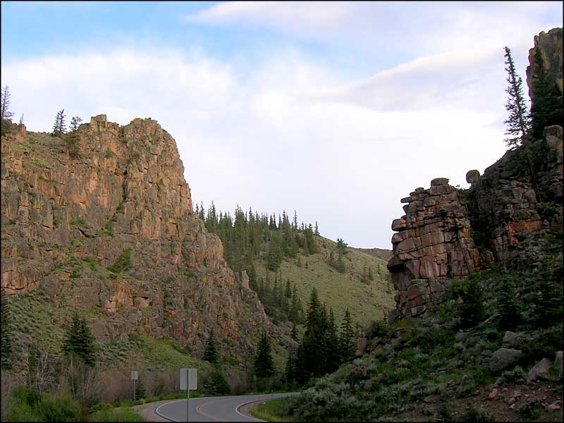
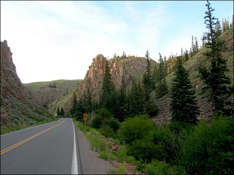 In Cochetopa Canyon |
|---|---|---|
 In Cochetopa Canyon |
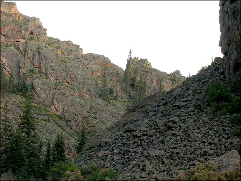
 In Cochetopa Canyon |
 In Cochetopa Canyon |
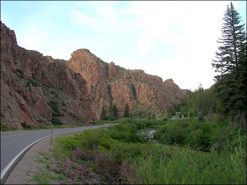
 In Cochetopa Canyon |
 In Cochetopa Canyon |
 Near the north end of the canyon |

Coming out of the canyon and heading down to US 50 and Gunnison
National Park Service Sites - BLM Sites - National Wilderness Areas - Unique Natural Features
Outdoor Sports & Recreation - Ski & Snowboard Areas - Photo Galleries - Colorado Mountains
