 |
Bureau of Land Management Sites in Montana |
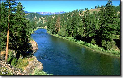 Clark Fork River |
|
The Bureau of Land Management manages a number of different recreation sites in Montana. Some of these properties are managed with the assistance of the Montana Department of Fish, Wildlife and Parks, the Nature Conservancy, the Yellowstone River Parks Association, and the Yellowstone Chapter of Pheasants Forever. You can click on places on the maps or in the list below them and get more information on the National Monuments, Wilderness and Wilderness Study Areas, Recreation Sites, Campgrounds, Day Use Sites, and Back Country Byways in Montana that are in the care of the Bureau of Land Management, protected and preserved for the public. |
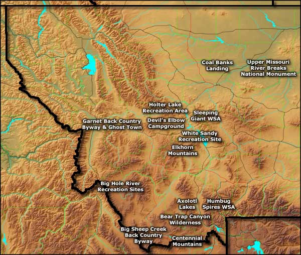 The western half of Montana 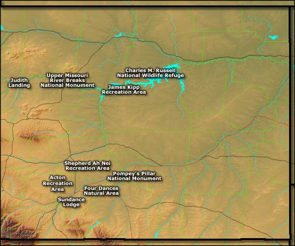 The eastern half of Montana |
| Or use the list below: |
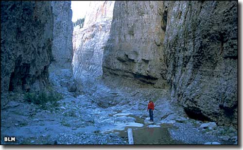 The canyon at Muddy Creek |
|
|
 |
| Index - Arizona - Colorado - Idaho - Montana - Nevada - New Mexico - Utah - Wyoming National Forests - National Parks - Scenic Byways - Ski & Snowboard Areas - BLM Sites Wilderness Areas - National Wildlife Refuges - National Trails - Rural Life Advertise With Us - About This Site - Privacy Policy |
| Photos courtesy of the Bureau of Land Management. Maps courtesy of Cartesia MapArt Terrain. Text Copyright © by Sangres.com. All rights reserved. |