Scenic and Historic Byways in Arizona

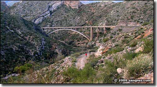
I grew up reading a magazine called "Arizona Highways." It showed some incredible photography shot along some of Arizona's most scenic highways and byways. A lot of what was shown in that magazine was "other-worldly" in the surreal beauty of the landscapes pictured. Majestic sheer cliffs in vivid reds, oranges and purples, banded sandstones, gnarly veined granites, brilliant green cottonwoods in verdant river bottoms beneath sheer walls of rock... This certainly isn't Kansas...
Anyway, I intend to try to give homage to some of the roads in Arizona that are now designated as Federal and State Scenic and/or Historic Roads, Byways and Parkways in this section of this hobby website of mine.

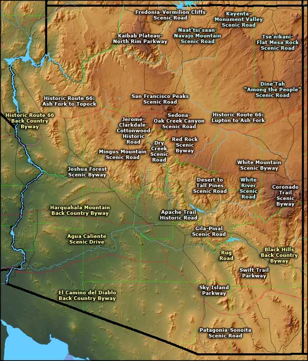
Arizona Scenic Byways image-map
You can click on the names on the map above or on the links below to take a look a some maps, photos
and information about each scenic byway, highway, parkway and road in Arizona:
and information about each scenic byway, highway, parkway and road in Arizona:
Agua Caliente Scenic Drive
Apache Trail Historic Road
Black Hills Back Country Byway
Coronado Trail Scenic Byway
Desert to Tall Pines Scenic Road
Dine' Tah “Among the People” Scenic Road
Dry Creek Scenic Road
El Camino del Diablo Back Country Byway
Fredonia - Vermilion Cliffs Scenic Road
Gila-Pinal Scenic Road
Harquahala Mountain Back Country Byway
Historic Route 66-Ashfork to Topock
Historic Route 66-Lupton to Ashfork
Jerome-Clarkdale-Cottonwood Historic Road
Joshua Forest Scenic Byway
Kaibab Plateau - North Rim Parkway
Kayenta-Monument Valley Scenic Road
Mingus Mountain Scenic Byway
Naat’tsisaan-Navajo Mountain
Patagonia-Sonoita Scenic Road
Red Rock Scenic Byway
Rug Road
San Francisco Peaks Scenic Road
Sedona-Oak Creek Canyon Scenic Road
Sky Island Parkway (Catalina Highway)
Swift Trail Parkway
Tse’nikani-Flat Mesa Rock Scenic Road
White Mountain Scenic Byway
White River Scenic Byway

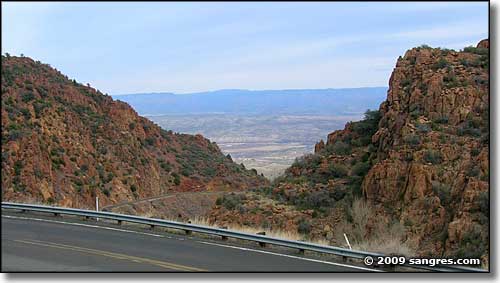
Looking north on the Mingus Mountain Scenic Byway
