 |
||||||||||||
|---|---|---|---|---|---|---|---|---|---|---|---|---|
Rio Grande Gorge |
||||||||||||
|
|
||||||||||||
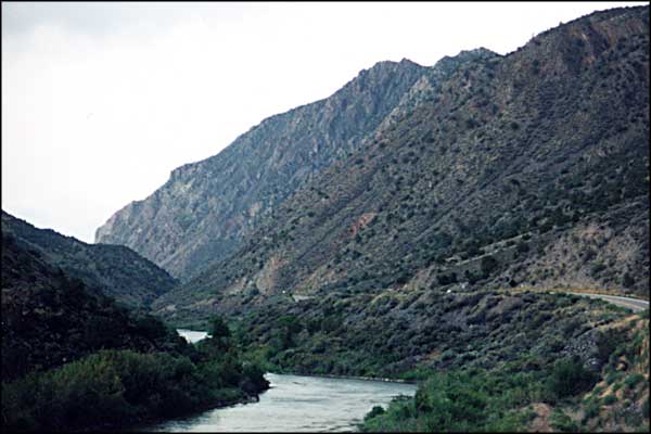
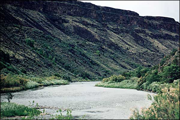
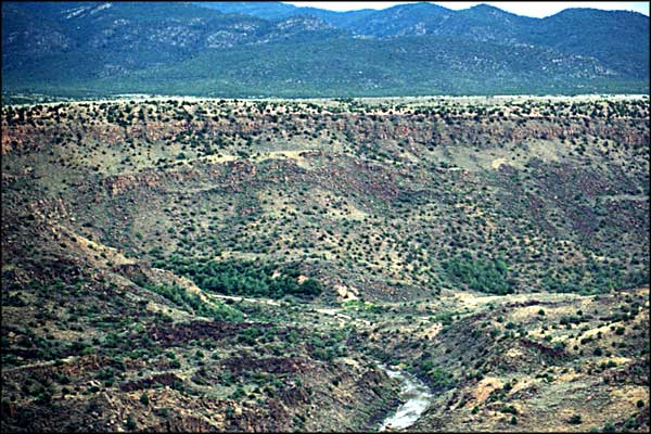
 The Gorge as seen from State Highway 68 and looking north, between Pilar and Ranchos de Taos |
||||||||||||
|
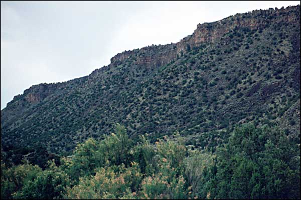
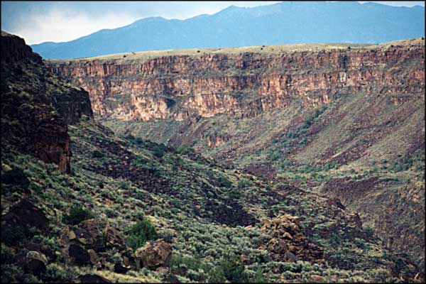
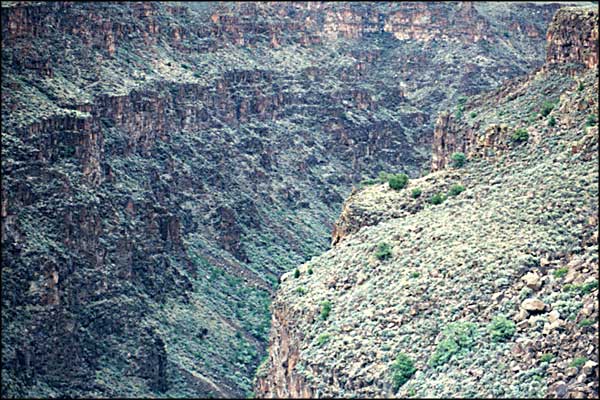
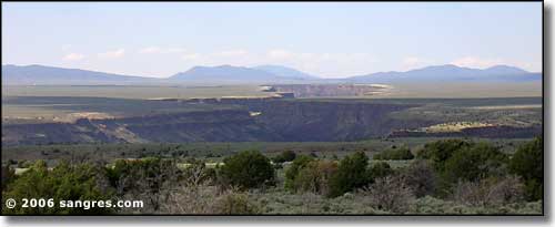
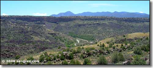
The area of the Rio Grande Gorge that I am talking about here is the area between Pilar and the Taos Gorge Bridge. The Gorge does go further north and south than that. West of Questa (and north of this area) is the Rio Grande National Wild and Scenic River Area, another area of incredible landscape, whitewater rafting possibilities and cold stream fishing but I haven't been into that area of the river yet and have no photos for you... same for the area between Pilar and Velarde... but I do have photos from the White Rock Canyon area south of Pojoaque and on the eastern edge of White Rock. The area shown here is the primary Rio Grande whitewater rafting zone in northern New Mexico. Some folks put into the river right at Pilar and go south through Class 4 and 5 whitewater (usually to Velarde). Some put in well above Taos in the National Wild and Scenic River area, some at Dunbar Bridge in Arroyo Hondo (for the Taos Box section), and some at Taos Junction Bridge at the northern end of Orilla Verde for a quite float (Class 1 and 2 only) down to Pilar. When looking at these photos it is obvious that the Rio Grande River, as it flows through northern New Mexico, is flowing through a crack in the Earth. That crack is known as the Rio Grande Rift. The two sides of the rift are still separating from each other, although the motion is very slow, There is regularly some minor seismic activity along the rift and there are also a few hot springs surfacing along the river, testifying to the nearness of hot rock underground. |
||||||||||||
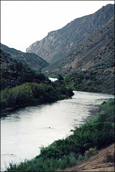
 Looking north in Orilla Verde near the Taos Junction Bridge 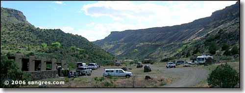 The day use area above Taos Junction Bridge The photos below are photos that were taken back in 1998. They have made this one of the busiest pages on Sangres.com. Selecting among them will bring you a 600x400 version of that photo. On the Taos Gorge Bridge and Orilla Verde pages are new photos (2005). Selecting among any of them will bring you an 800x600 version. Enjoy! |
||||||||||||
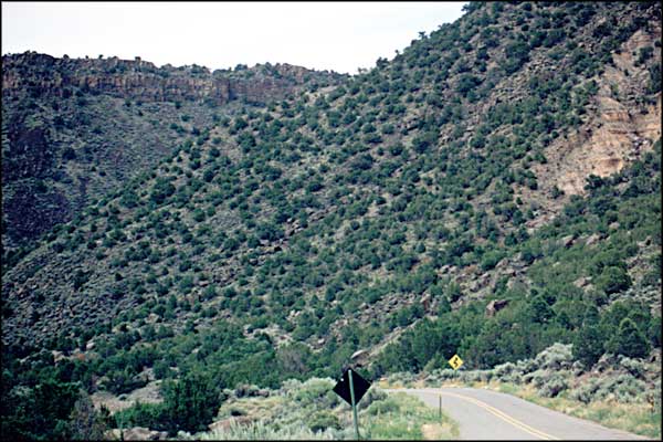
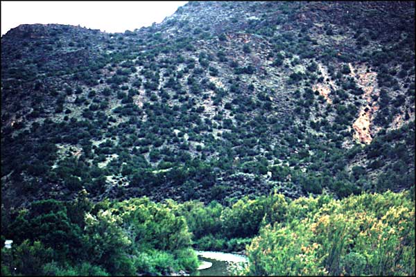
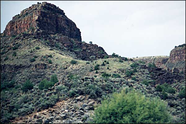
| Clicking on any of the photos below will open a new window or new tab in your browser and bring you a larger version of that photo. |
||||||||||||
| ||||||||||||
|
|
||||||||||||

|
||||||||||||
| Index - Arizona - Colorado - Idaho - Montana - Nevada - New Mexico - Utah - Wyoming National Forests - National Parks - Scenic Byways - Ski & Snowboard Areas - BLM Sites Wilderness Areas - National Wildlife Refuges - National Trails - Rural Life Advertise With Us - About This Site - Privacy Policy |
||||||||||||
| Photos courtesy of Sangres.com, CCA ShareAlike 3.0 License. Text Copyright © by Sangres.com. All rights reserved. |