Manzano Mountain Wilderness

Manzano Mountain Wilderness

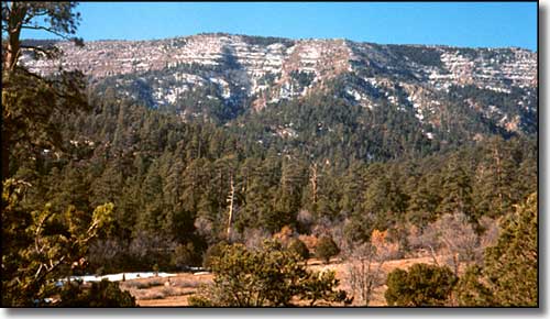
Manzano Mountain Wilderness occupies some 36,875 acres on the western slopes of the Manzano Mountains in central New Mexico.
Elevations range from about 6,000' to the top of Manzano Peak at 10,098'.
The Manzanos got their name from the ancient manzano trees that Spanish explorers found growing here in the early 1700's. The "manzano" is an apple tree and apple trees are not native to North America.
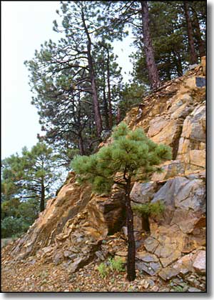
The Manzano Mountains are steep and rugged, sliced and diced with deep canyons and sprinkled with large outcroppings of solid rock.
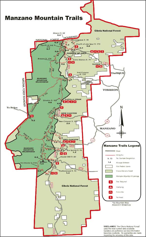
Manzano Mountain Wilderness has more than 64 miles of good trails, but also has a serious lack of campsites and reliable water sources. The slopes east of the top ridge (and therefore not in the wilderness itself) see a lot more human traffic because they are not as steep and hold more water.
One good trail heads west out of the Fourth of July Campground near the northern edge of the Manzano Mountain Wilderness. After 1.5 miles, it meets up with the Crest Trail that then goes south for 22 miles along the ridge crest to the top of Manzano Peak. The Crest Trail is easily accessed from the Red Canyon, Capilla Peak and New Canyon campgrounds, too.
Manzano Mountain Wilderness is completely contained within Cibola National Forest. The very northern end of the wilderness was burned in a wildfire several years ago.

