North Absaroka Wilderness

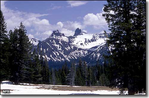
Pilot and Index Peaks, just south of Cooke City, Montana

The North Absaroka Wilderness lies along the eastern boundary of Yellowstone National Park with its northern boundary against the Montana state line. This 350,488 acres in the Shoshone National Forest is among the least disturbed by humans in the lower 48 states.
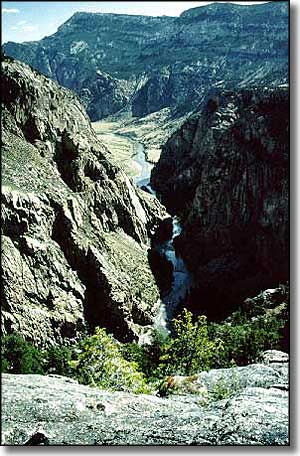
This is remote and rugged country of mostly volcanic origin. A lot of the terrain is virtually inaccessible. Dead Indian Peak (12,216') is the highest point in the wilderness but there are several other peaks that rise above 10,000'. The wilderness is split by numerous creeks that form large drainages filled with highly erodible topsoil. That means that spring snowmelt and summer rains turn many streams into raging rivers of mud.
There are 217 miles of "trails" in the wilderness. These "trails" tend to be rough, long, steep, narrow, and minimally marked. Because of the general ruggedness and steepness of the terrain, it's hard to move from drainage to drainage, except at the headwaters (way up the hill).
This is an area that sees few visitors, and most of those visitors come here during fall hunting season. There are only a few lakes but many of the streams have good populations of brown, brook, cutthroat, and rainbow trout, plus mountain whitefish and grayling.
In season, the hunters come by the hundreds, looking for elk, moose and bighorn sheep. This wilderness is also home to a significant number of grizzly bears, so you'll want to be prepared.
Another thing to be aware of is the fact that the best camping areas are few and far between and tend to be somewhat overused in season.

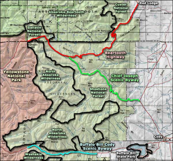
North Absaroka Wilderness area map
Beartooth-Absaroka Wilderness - Washakie Wilderness - Beartooth Highway
Chief Joseph Scenic Byway - Buffalo Bill Cody Scenic Byway
Yellowstone National Park - Buffalo Bill State Park
