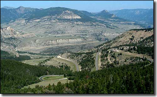
The Chief Joseph Scenic Byway commemorates the flight of Chief Joseph and his Nez Perce down the valley of the Clark's Fork of the Yellowstone which they continued to follow up into Montana as they ran for the Canadian border (in hopes of gaining their freedom back).
This is a 47-mile route on paved road through spectacular countryside. The northern end of the Chief Joseph Scenic Highway is on the Beartooth Highway, the southern end about 17 miles northwest of Cody on State Route 120. In between are many great views of the Valley of the Clarks Fork and of the surrounding mountains.
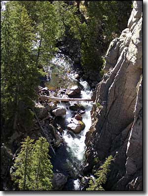
There's also a pullout at the edge of Sunlight Bridge. Many folks like to hike across the bridge and take photos looking down into the canyon of Sunlight Creek. The deep-cut topography displayed is common in the area of the Absaroka and Beartooth Mountains.
The Chief Joseph Scenic Byway is plowed in the winter so you can get access to the northeast entrance to Yellowstone National park year-round. The route intersects with the Beartooth Highway about in the middle of the Highway.
The road to the east (going up to Red Lodge, Montana) from there is usually closed from November through May by snowfall, but if you're out there with a snowmobile, hey...
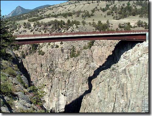
Sunlight Bridge
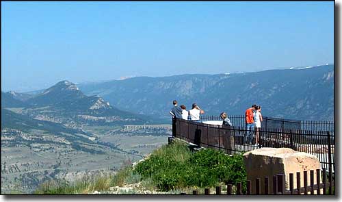
Dead Indian Overlook on Dead Indian Pass, Chief Joseph Scenic Byway
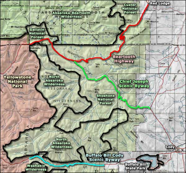
Chief Joseph Scenic Byway area map
