Sabinoso Wilderness

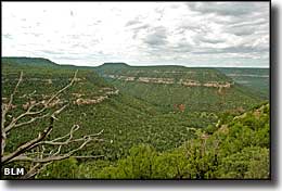
Sabinoso Wilderness is a 16,030-acre Bureau of Land Management property located in a remote area of eastern New Mexico. The landscape is a mix of cliff-lined canyons and high, narrow mesas. Elevations vary mostly between about 4,500' and 6,000'.
For vegetation there are occasional stands of Ponderosa pine surrounded by a thick pinon-juniper woodland. The mesa tops are covered mostly in a thick sea of savanna-like grasses. Many of the canyon bottoms flow with enough water to support riparian ribbons of vegetation which includes clumps of cottonwood and willow.
The area is rather unique for the eastern New Mexico Plains: Canon Largo, Canon Olguin and Lagartija Creek are deep cuts into an escarpment with flat plains above, to the northwest, and flat plains below, to the southeast.
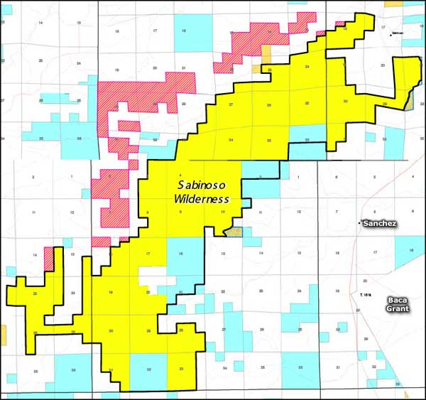
Sabinoso Wilderness was designated a part of the National Wilderness Preservation System in 2009 and presently has no public access as it is surrounded completely by private ranches. The Bureau of Land Management is attempting to negotiate access but that may take some time. The property is located in eastern San Miguel County, about one mile west of the village of Sabinoso.
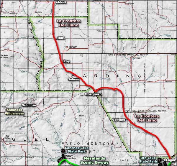
This is a remote area. The nearest groceries are in Mosquero, about 30 miles away. The nearest gas station is in Roy, about 45 miles away. State Route 104 winds around near the southern edge of Sabinoso Wilderness while State Route 419 moves along the eastern side. Both roads are paved but once you leave them, it's poorly maintained dirt roads at best. There are the remains of old settlements in places but nothing that resembles a real town.

Map of Sabinoso Wilderness

Sabinoso Wilderness area map
