
The Tusas Mountains
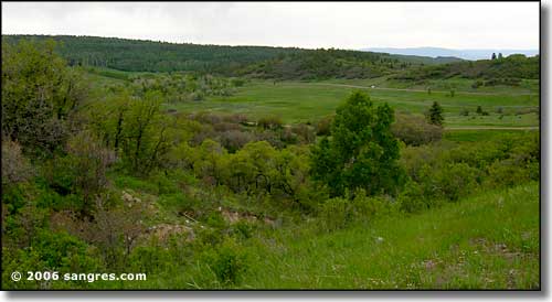
The Tusas Mountains rise along the eastern side of Rio Arriba County. The western slopes of the mountains are part of the Tierra Amarilla Land Grant while the eastern slopes are part of Carson National Forest. The mountains run from the Colorado-New Mexico border south to the Rio Chama Valley. The highest point is Brazos Mountain at 11,403'. A famous rock formation here is the Brazos Cliffs, most often viewed when looking east from US 64 between Chama and Tierra Amarilla.
These photos were taken while driving US 64 from Tierra Amarilla to Tres Piedras in mid-June. From just east of Tierra Amarilla to Tres Piedras this road is not plowed in the winter. It won't be long before the lack of inhabited structures tells you why. But this is simply gorgeous countryside, for the most part untouched since the arrival of Europeans in the area. Let me rephrase that: this area was once settled and occupied by cattle ranches/ranchers but, over time, the general human unwillingness to put up with the winter weather conditions caused most folks to leave and the countryside reverted back into the Federal Land Bank. From there it was collected and transferred to the Forest Service, then included in the formation of Carson National Forest. To this day however, major portions of the former cattle ranches are still leased for cattle grazing.
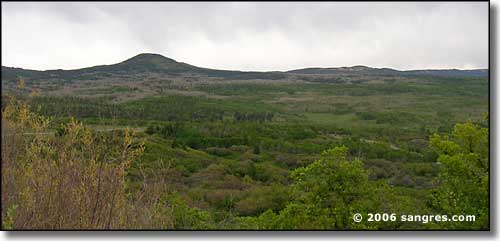
The first several miles the road just goes up and up...
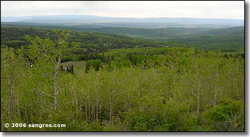
...with big vistas everywhere you look...
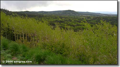
... and pretty empty countryside.
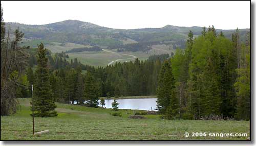
Looking east, climbing towards the divide
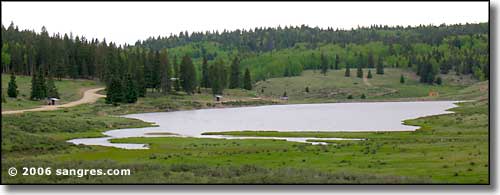
Hopewell Lake, east of the divide
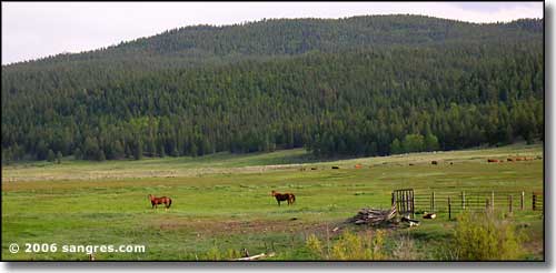
Headed down the road toward Tres Piedras, on the eastern side of the mountains
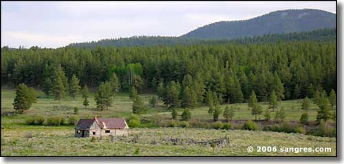
A relic from before the National Forest came into being
