 |
Lake Mead |
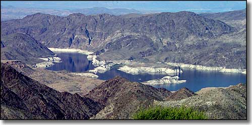 From Mead View Overlook, South Virgin Mountains on the far shore (and notice the "bathtub ring") |
|
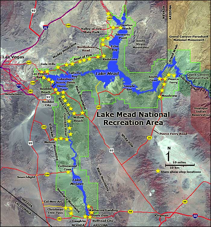
Lake Mead National Recreation Area covers about 1,500,000 acres in Arizona, Nevada and California. This page concerns itself with the National Recreation Area north of Hoover Dam. This is Lake Mead itself, and the water levels in Lake Mead vary year by year. Between May, 2000 and May, 2003, the mean elevation of the lake surface dropped by 60 feet. That left a "bathtub ring" around the lake, the top of that ring being the previous high water mark. |
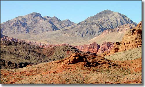 In the Bowl of Fire area, Muddy Mountains behind 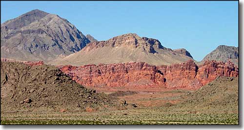 In the Bowl of Fire area 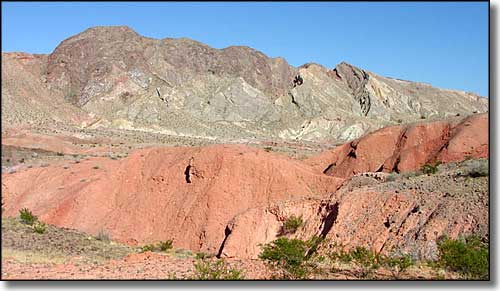 The Gale Hills 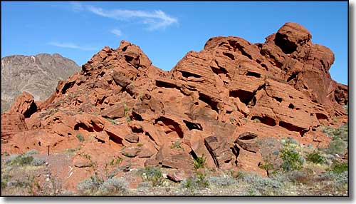 In the Redstone Picnic Area 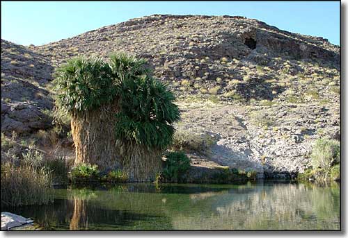 Rogers Hot Spring 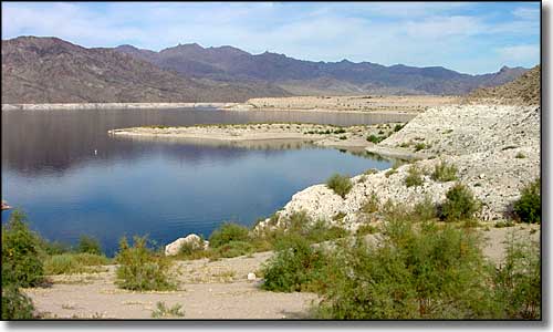 South Cove Picnic Area 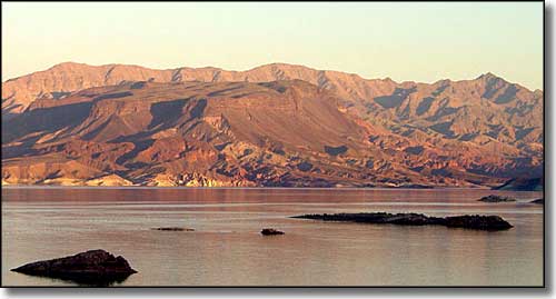 Sunset Point |
 |
|
|
Lake Mead National Recreation Area Pages
Lake Mead National Recreation Area - South of Hoover Dam - Permitted Concessioners
Spirit Mountain Wilderness - Jimbilnan Wilderness - Pinto Valley Wilderness Black Canyon Wilderness - Bridge Canyon Wilderness - El Dorado Wilderness Ireteba Peaks Wilderness - Nellis Wash Wilderness Lake Mead National Recreation Area Related Pages
Valley of Fire State Park - Valley of Fire Scenic Byway
Gold Butte Back Country Byway - Bitter Springs Back Country Byway Muddy Mountains Wilderness - Lime Canyon Wilderness - Jumbo Springs Wilderness Nevada Pages |

|
| Index - Arizona - Colorado - Idaho - Montana - Nevada - New Mexico - Utah - Wyoming National Forests - National Parks - Scenic Byways - Ski & Snowboard Areas - BLM Sites Wilderness Areas - National Wildlife Refuges - National Trails - Rural Life Advertise With Us - About This Site - Privacy Policy |
| Photos and map of Lake Mead National Recreation Area courtesy of the National Park Service and USGS. Text Copyright © by Sangres.com. All rights reserved. |