|
|||||||||||||||
|---|---|---|---|---|---|---|---|---|---|---|---|---|---|---|---|
Pikes PeakFront Range |
|||||||||||||||
|
|
|||||||||||||||
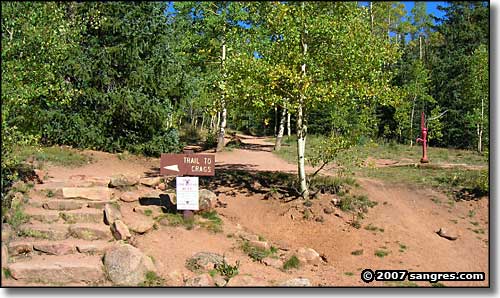 The trailhead at Crags Campground |
|||||||||||||||
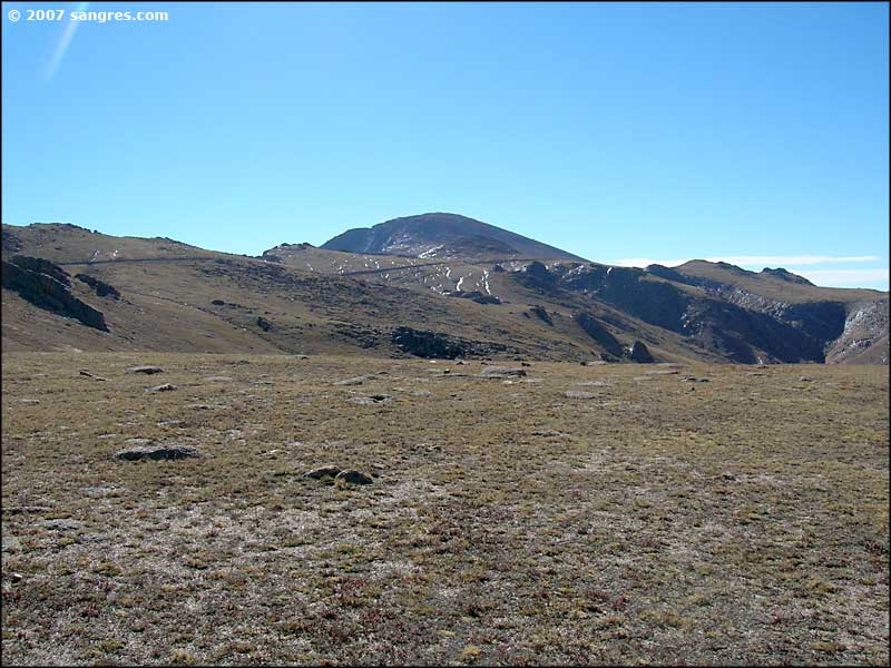
Pikes Peak was a worthy challenge. It was someone's last 14er in Colorado and there was a lot of participation in the hike. We started out on the Crags Trail from the Crags Campground on the west side of the mountain. This is a very popular area among hiking enthusiasts and at sunrise, the views were just gorgeous. Only problem we had was in determining where the mountain climbing trail diverged from the Crags Trail. Once we found that, our hike became a direct frontal assault on the mountain. Up and up, and then up some more, and then we crossed a rock rib and found flat ground, sort of. |
|||||||||||||||
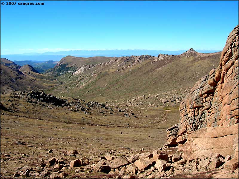
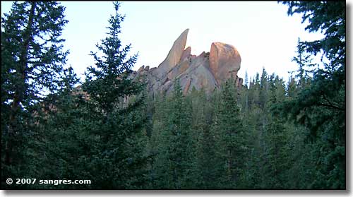 The Crags 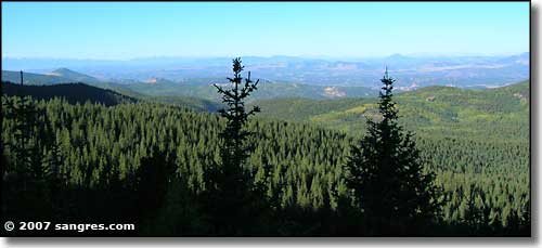 Looking west, just above the Crags 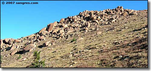 One of the rock ribs 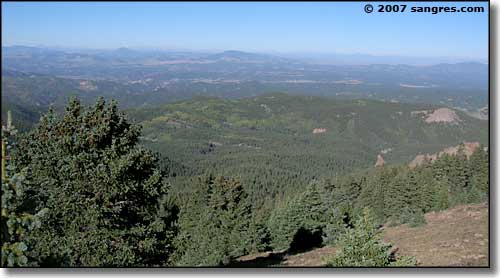 Looking west from higher up |
|||||||||||||||
|
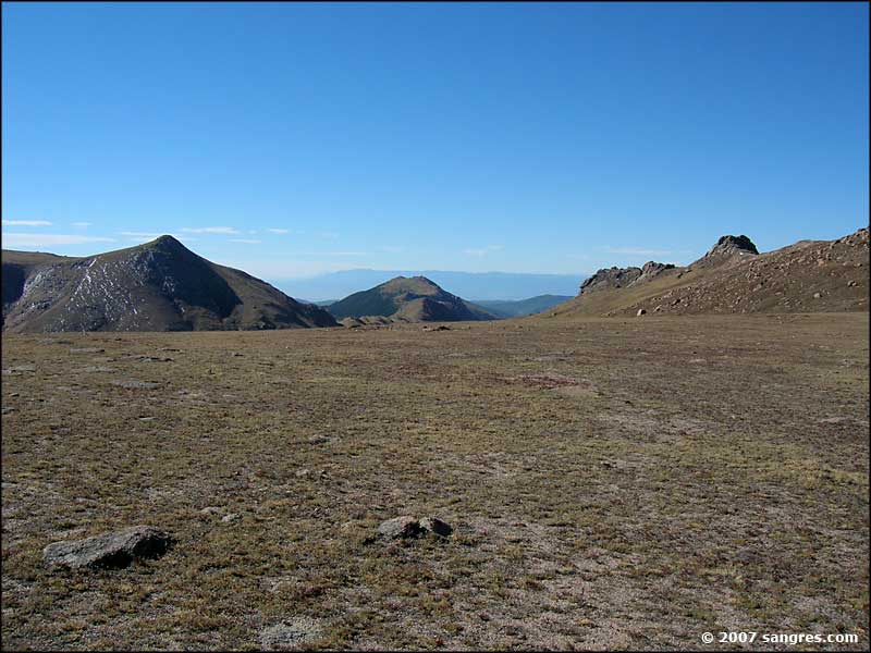
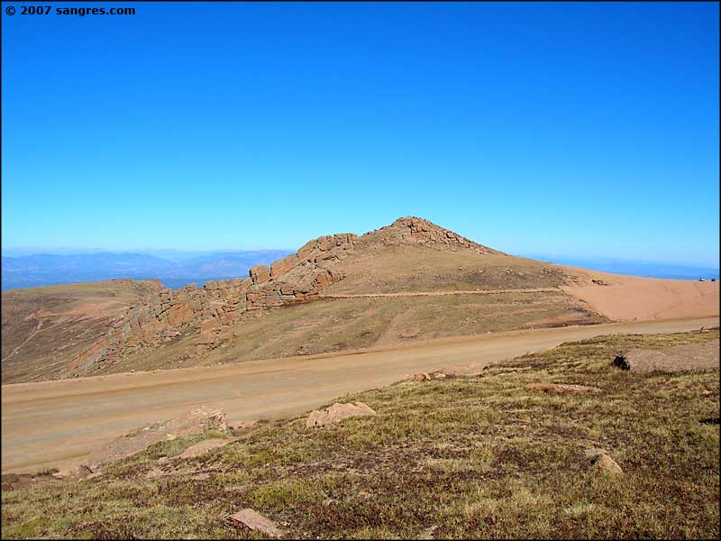
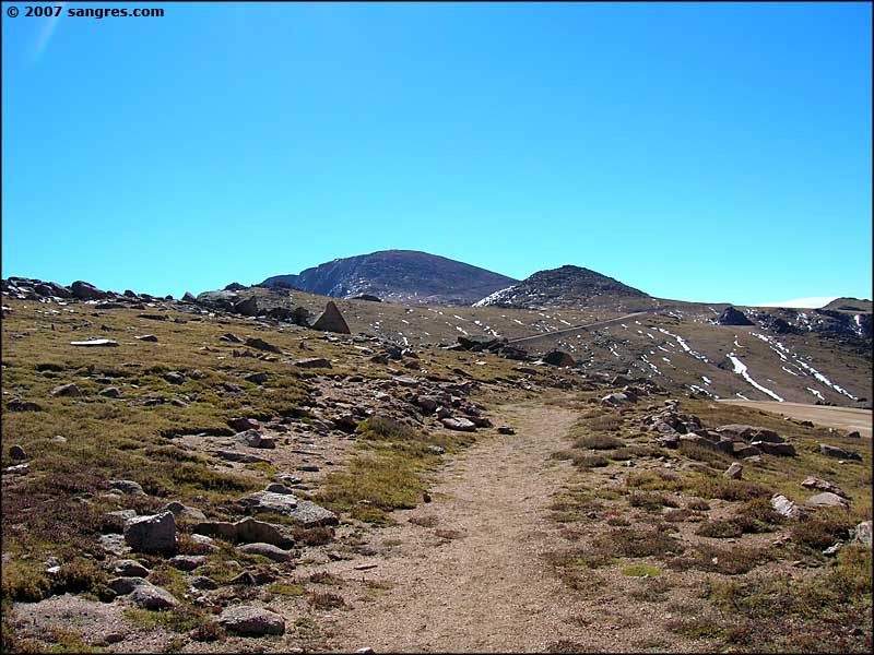
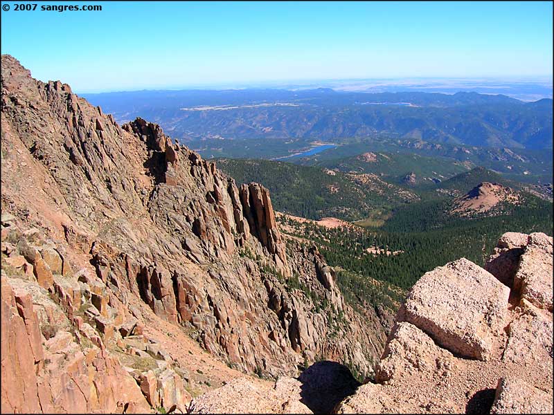
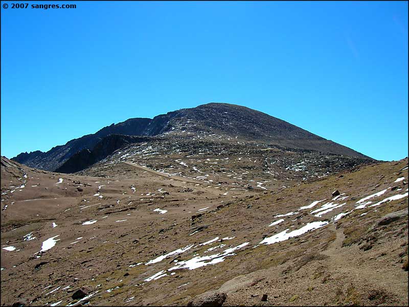
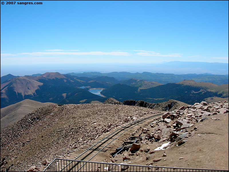
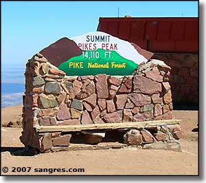
Pikes Peak is a large mountain mass. Once we came up over the shoulder of the mountain onto the flat area, we still had a couple of miles of hiking (above treeline) to get to the bottom of the summit dome. A lot of this stretch was along the toll road going to the top of the mountain. There were some great views off to the north and then we started up the summit dome (or should I say rockpile?). The wind was howling and the nearest escape was in the buildings at the top. We moved quickly. |
|||||||||||||||
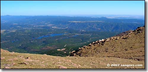 Looking north 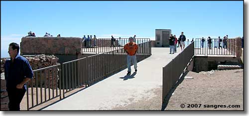 The "America the Beautiful" Memorial 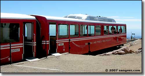 Manitou and Pikes Peak Railway 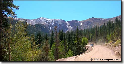 Along the toll road to the top of Pikes Peak |
|||||||||||||||
|
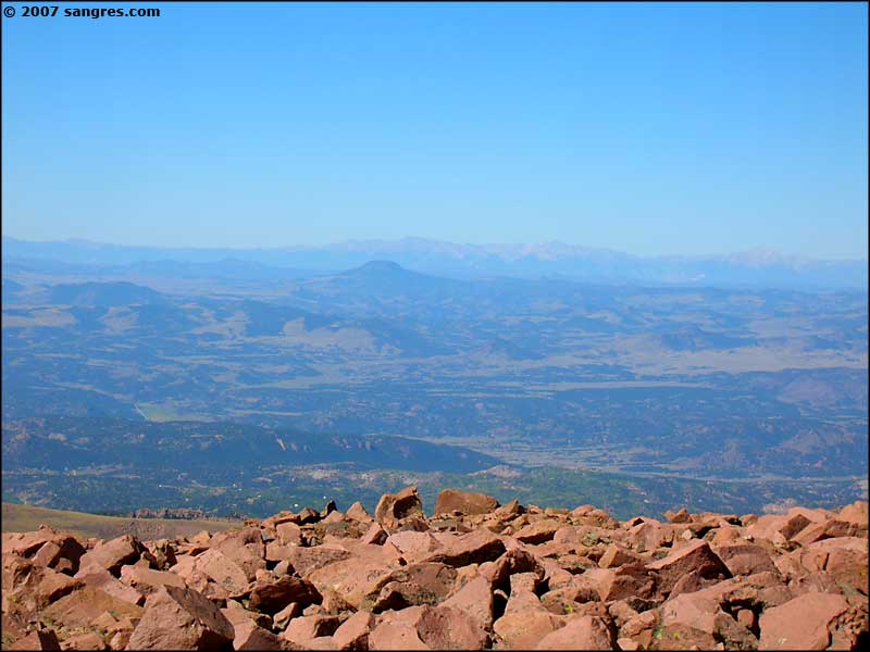
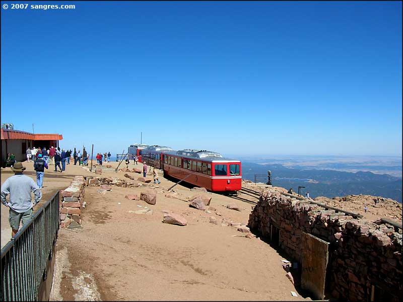
Inside the concession stand at the top of the peak was total pandemonium. About the same time that 20 or so of our group arrived, a fully-loaded train arrived on the cog railway: they didn't have that kind of room inside the building. We hung around long enough to get some photos, drink a champagne toast and hit the can. Then we were off back down the mountain and out of that breeze. |
|||||||||||||||
| Clicking on any of these photos will open a new window or new tab in your browser and bring you a larger version of that photo. |
|||||||||||||||
| |||||||||||||||
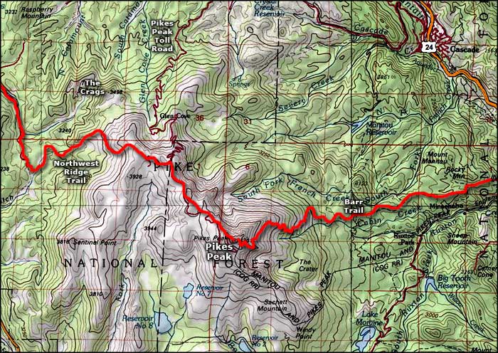 Pikes Peak area map |
|||||||||||||||
|
|
|||||||||||||||
Pike's Peak Related PagesPike National Forest PagesColorado Pages
Towns & Places - Scenic Byways - State Parks - BLM Sites - History & Heritage Ski & Snowboard Areas - Photo Galleries - Colorado Mountains - Scenic Railroads Unique Natural Features - Wilderness Areas - Outdoor Sports & Recreation Colorado's National Forests - National Wildlife Refuges - Colorado's National Parks |
|||||||||||||||

|
|||||||||||||||
| Index - Arizona - Colorado - Idaho - Montana - Nevada - New Mexico - Utah - Wyoming National Forests - National Parks - Scenic Byways - Ski & Snowboard Areas - BLM Sites Wilderness Areas - National Wildlife Refuges - National Trails - Rural Life Advertise With Us - About This Site - Privacy Policy |
|||||||||||||||
| Photos courtesy of Sangres.com, CCA ShareAlike 3.0 License. Map courtesy of National Geographic Topo! Text Copyright © by Sangres.com. All rights reserved. |