 |
White Pine Scenic Byway |
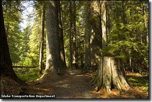 In Laird Park on St. Joe National Forest, near the White Pine Scenic Byway |
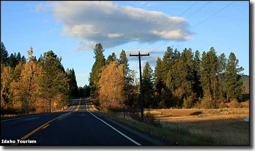
The northern end of the White Pine Scenic Byway is at the intersection of Interstate 90 and Idaho Highway 3. From there the route goes mainly south through St. Maries to the intersection of Idaho 3 and Idaho Highway 6, where it turns right and heads for the intersection with US Highway 95 just west of Potlatch. In this 83-mile stretch you'll pass through areas of farm land separated by rivers, extensive forests and mountainous countryside. In this area you'll also find the largest single stand of White Pines in the word. Near the northern end of White Pine Scenic Byway is Old Mission State Park, site of the Old Mission of the Sacred Heart, built by the Coeur d'Alenes and a couple of Jesuit missionaries back in the 1850's. The Old Mission is the oldest building still standing in Idaho. 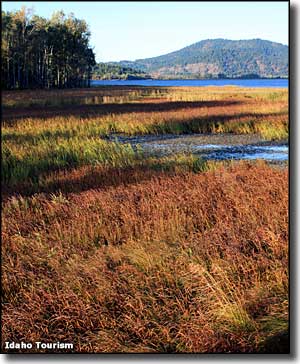
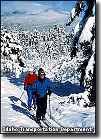
From the Cataldo area, the White Pine Scenic Byway travels south among the lush forests of northern Idaho, and among the numerous lakes and marshlands of the lower Coeur d'Alene River, past the southern end of the Lake Coeur d'Alene Scenic Byway and then to St. Maries. St. Maries offers full services, several historic attractions and the Hughes House Museum. Just out of St. Maries you'll cross the St. Maries and then St. Joe River (where the St. Joe River Scenic Byway heads off to the east). You'll still be following Idaho Route 3 south to the intersection with Idaho Route 6, northeast of Emida. Near Emida is where you'll find the (Park 'N Ski) Palouse Divide Nordic Ski Area, with 6 cross-country ski trails east of the highway and 3 more west of the highway (in season, of course). 9 miles of those trails tend to be marked and groomed while 25 miles of the trails are gorgeous backcountry routes. Below Emida is where you'll find that huge stand of White Pine trees as you drive across the rolling hills of the Palouse country to Potlatch, where Frederick Weyerhauser opened the largest white pine lumber mill on Earth in 1905. |
 Along the White Pine Scenic Byway 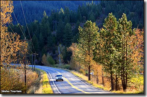 Another scene along the White Pine Scenic Byway 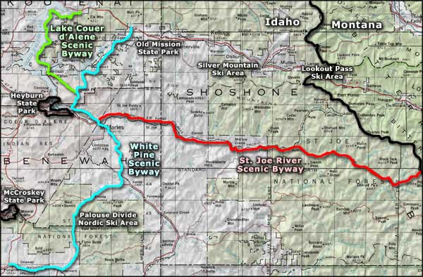 White Pine Scenic Byway area map |
|
|
 |
| Index - Arizona - Colorado - Idaho - Montana - Nevada - New Mexico - Utah - Wyoming National Forests - National Parks - Scenic Byways - Ski & Snowboard Areas - BLM Sites Wilderness Areas - National Wildlife Refuges - National Trails - Rural Life Advertise With Us - About This Site - Privacy Policy |
| Upper photos courtesy of the Idaho Transportation Department. Lower photos courtesy of the Idaho Department of Tourism. Area map courtesy of National Geographic Topo! Text Copyright © by Sangres.com. All rights reserved. |