Superstition Wilderness

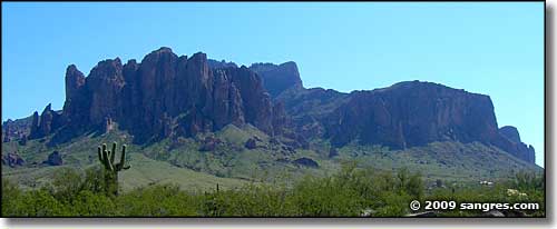
The Superstition Mountains
The Superstition Wilderness includes some 159,757 acres in and around the Superstition Mountains. The western part of Superstition Wilderness contains a lot of steep and vertical terrain, while the central and eastern parts are not nearly as topographically challenging. Elevations range from a low around 2,000' to a high of 6,265' at the summit of Mound Mountain. On the western side of Superstition Mountains Wilderness there's a dramatic volcanic plug named Weaver's Needle that rises almost straight up to 4,553' from the virtually flat desert plain.
Vegetation is typical Sonoran Desert (ocotillo, cholla, saguaro, paloverde) with chaparral and semidesert grassland higher up. The highest elevations are covered with islands of Ponderosa pine. There is a serious lack of water in these mountains and with temperatures rising above 115°, summer can be a painful time to visit.
Well over 100 people have died among the rugged peaks of the Superstition Mountains since the 1800's. Some of those deaths are associated with nefarious happenings around the fabled Lost Dutchman Mine, but most deaths have been attributed to falls from the dangerously steep precipices. In 1983, Arizona outlawed all mining efforts in the Superstition Range. And the terrain of the Superstitions is so extremely rugged that NASA trained astronauts here in the early days of space travel.
There are about 180 miles of maintained (some good, some fair, some very poor) trails in the Superstition Wilderness but 80% of all the human traffic is on the Peralta and First Water Trails. Many trails hardly ever see a human foot on them (hence, the lack of maintenance). Because certain parts of Superstition Wilderness are continually overused by people, group size is limited to 15 people and 15 head of livestock, while the stay limit is 14 days in any 30-day period.


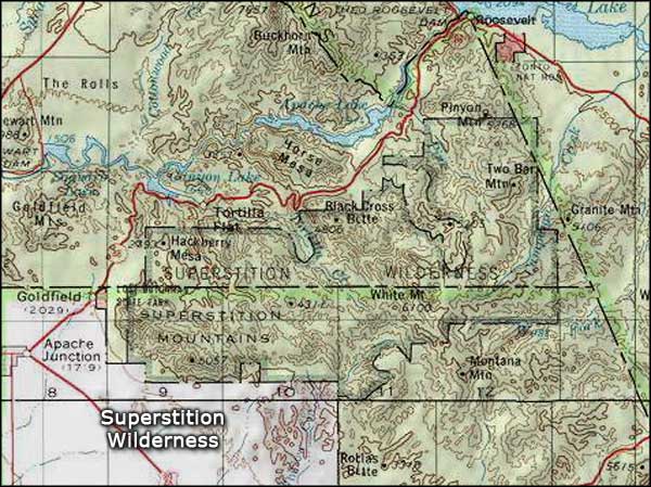
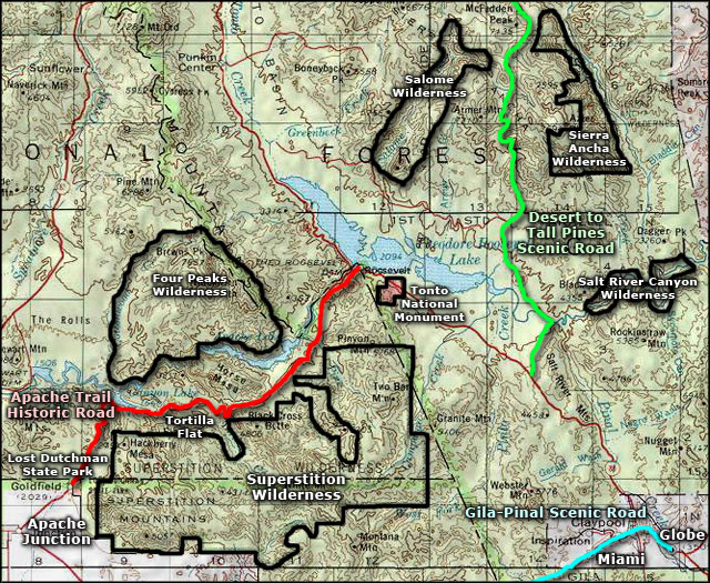
Superstition Wilderness area map
