
Eagletail Mountains Wilderness
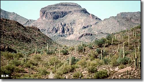
Eagletail Peak in the Eagletail Mountains
The 97,880-acre Eagletail Mountains Wilderness has about 15 miles of the ragged ridgeline of the Eagletail Mountains running through the northern section of it. The highest point is Eagletail Peak at 3,300'. Several miles to the south is Cemetery Ridge along the southern border. Along with these two sawtooth mountain ridges you'll find a rugged, broken landscape with several natural arches and a number of 6-to-8-mile-long arroyos and washes. There are also a bunch of high-rising spires and monoliths, including Courthouse Rock, a granite monolith that attracts many technical rock climbers to attempt the 1,000'-plus rise of sheer granite. In between the mountainous areas is a wide open desert plain of sand, barrel cactus, creosote bush, sand, mesquite, saguaro, sand, ocotillo, cholla, more sand... This countryside tends to be very hot in the summer, so if you try to avoid the heat of the day, you'll need to be aware of the things that go hunt in the night.
There are several reasonably well-signed roads that lead to the Eagletail Mountains Wilderness but once you arrive at a trailhead, you're pretty much on your own. You're going to want a good map, a compass, maybe a GPS device and plenty of water: this is mostly open Sonoran desert and is definitely water-challenged. Best time to visit: when the sun isn't cooking down. If you do come to visit though, find your way to the obvious Courthouse Rock (can be seen for miles). There's a trailhead and parking area there with a kiosk. Take the Ben Avery Trail into the Wilderness to the Indian Spring petroglyph site. You'll find petroglyphs here dating back to about 1,500 BCE (in the Western Archaic style: beehives, bull's eyes, zigzags, grids, etc.) There are other petroglyphs that go back to maybe 500 CE (in the Hohokam/Gila style: human and animal forms) and still others dated 1903 or more recent (in the modern American graffiti style). The Indian Spring area is a good 1 hour hike from the trailhead.
The Eagletail Mountains are the heavily eroded remnants of a large volcanic dike that formed millions of years ago.
Get off the I-10 at Tonopah and go south to the Salome Highway, then west across Harquahala Valley to the Courthouse Rock Road. Go west on Courthouse Rock Road to a southeast-trending sandy pipeline maintenance road that passes near the northern edge of Eagletail Mountains Wilderness (there are signs out here). If in doubt about which way to go, just keep heading for Courthouse Rock. The southern edge of the wilderness can be accessed via the East Clanton Well Road. For both access roads you might want to have high clearance and 4WD, especially if it's been raining lately.
USGS Maps: Hope, Eagletail Mountains, Little Horn Mountains
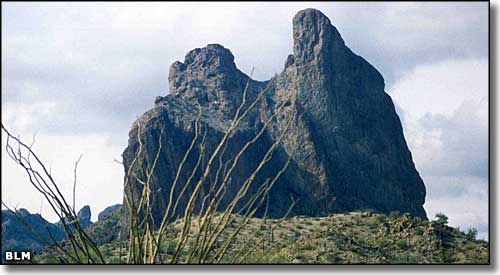
Courthouse Rock
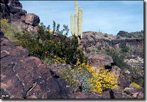
At the heart of the Eagletail Mountains Wilderness
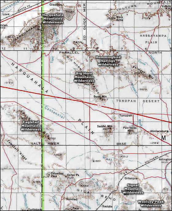
Eagletail Mountains Wilderness area map
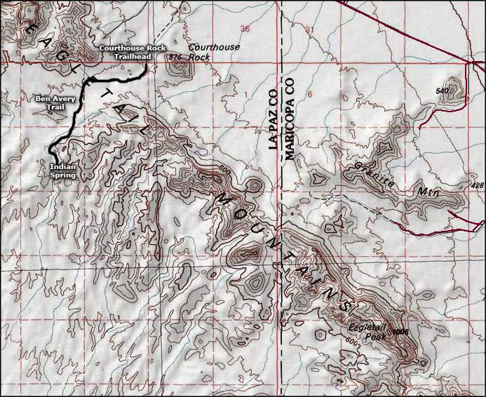
Eagletail Mountains Wilderness map
